
Arizona Surveyors, Inc. | Construction Staking
|
Construction StakingARIZONA SURVEYORS, INC.
The surveyor’s role in construction is imperative and extremely multi-faceted.
On a larger projects the surveyor will manage the project's control and coordinate with the site manager, the dirt people who construct pads, roads and retentions, the underground people that install the sewer lines, water lines, storm drains and dry utilities such as electric and telephone. On smaller projects, such as a custom home the surveyor will stay in communication with the project manager, the dirt people and the concrete people who do the footings and block and stem layouts. |
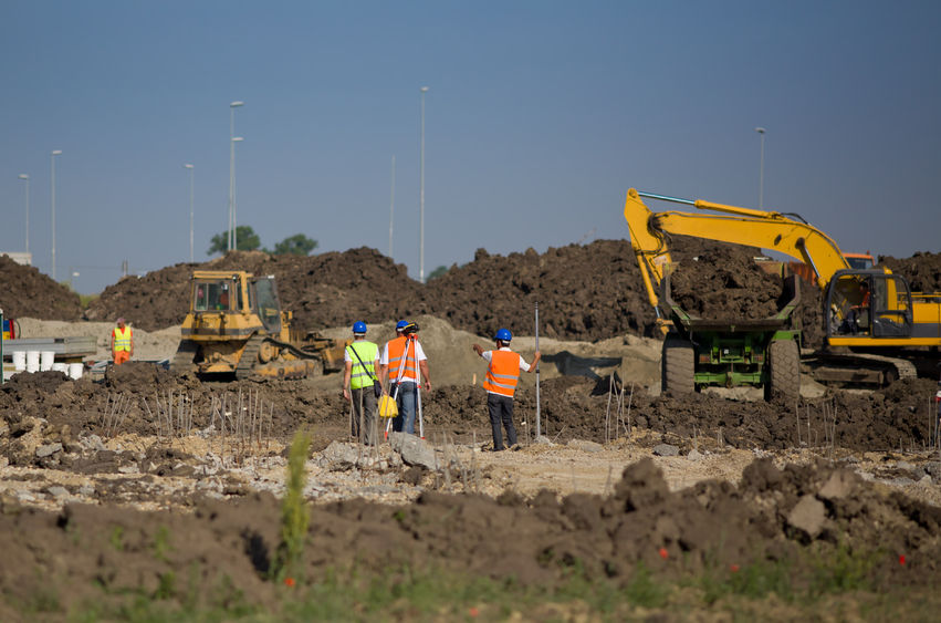
Construction StakingThe construction industry uses land surveyors for a multitude of tasks.
|
Typical Construction Staking services include: staking of curb and sidewalks, sewer lines, water lines, storm drains, retention ponds, ditches, rip rap, electric lines, transformers, utility poles, light poles, buildings, building pads, walls, fences and anything else that can require a staking position.
One other task is the setting of points around a site for machine control generally used by larger more sophisticated companies. Another key element to construction is the asbuilt; this is the collection of data after a project has been constructed to provide the governing municipality with the plan versus real world conditions and are marked on approved plans and submitted to the city for final. Such items are the location of the after-construction locations and elevation of a commercial site such as an office complex or individual certifications required by the different cities. |
Staking ProcessA an experienced and licensed surveyor is key to conduct an accurate and detailed plan for staking.
|
The surveyor begins the construction project in the office by performing calculations utilizing AutoCad files provided by the design professionals such as a civil engineer and architect and will pick and assign point numbers to certain key locations to be staked in the field as reference for layouts and build.
The surveyor will then go to the field and establish horizontal and vertical control using designated position inside the AutoCad file to ensure that the job is as designed. They will then perform cross checks as a precautionary measure to further ensure positional accuracy of the project. While today’s technologies require less survey work in construction the surveyors role will always be required to and extent. |